OpenSeqSLAM2.0: An Open Source Toolbox for Visual Place Recognition under Changing Conditions
5 October 2018

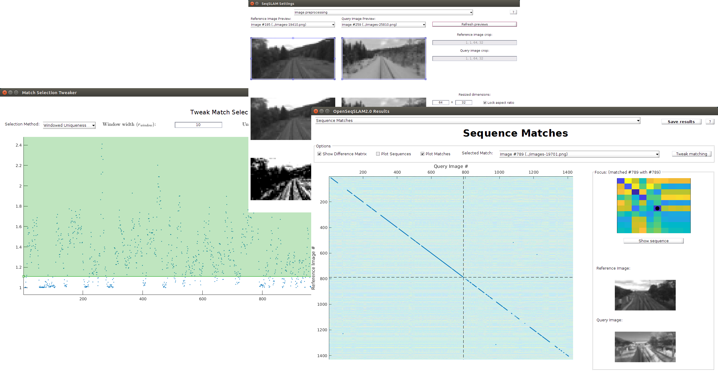
Visually recognising a traversed route - regardless of whether seen during the day or night, in clear or inclement conditions, or in summer or winter - is an important capability for navigating robots. Since SeqSLAM was introduced in 2012, a large body of work has followed exploring how robotic systems can use the algorithm to meet the challenges posed by navigation in changing environmental conditions. The following paper describes OpenSeqSLAM2.0, a fully open-source toolbox for visual place recognition under changing conditions. Beyond the benefits of open access to the source code, OpenSeqSLAM2.0 provides a number of tools to facilitate exploration of the visual place recognition problem and interactive parameter tuning. Using the new open source platform, it is shown for the first time how comprehensive parameter characterisations provide new insights into many of the system components previously presented in ad hoc ways and provide users with a guide to what system component options should be used under what circumstances and why.
Supporters
© Ben Talbot. All rights reserved.


